Delta Air Lines Signals Plans to Return to Venezuela
Delta is evaluating a return to Venezuela as U.S. airlines rebuild service to Caracas following a seven-year market closure.
Marsh Harbour Airport (IATA: MHH, ICAO: MYAM) is an airport in Bahamas. Coordinates: 26.51°N, 77.08°W, local time in the America/Nassau zone. FlyMag has published 6 articles covering Marsh Harbour Airport.
| Airport Name | Marsh Harbour Airport |
|---|---|
| IATA Code | MHH |
| ICAO Code | MYAM |
| Country | Bahamas (BS) |
| Timezone | America/Nassau |
| GMT Offset | -5 |
| Latitude | 26.513428 |
| Longitude | -77.077120 |
| City IATA Code | MHH |
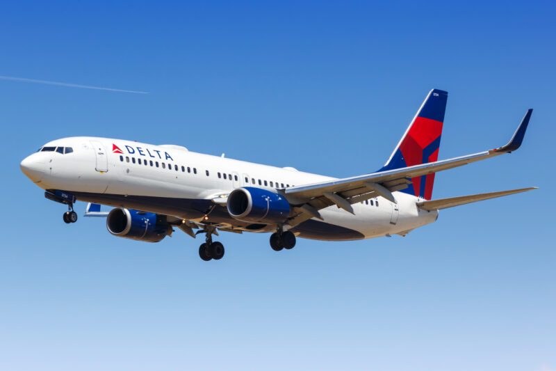
Delta is evaluating a return to Venezuela as U.S. airlines rebuild service to Caracas following a seven-year market closure.
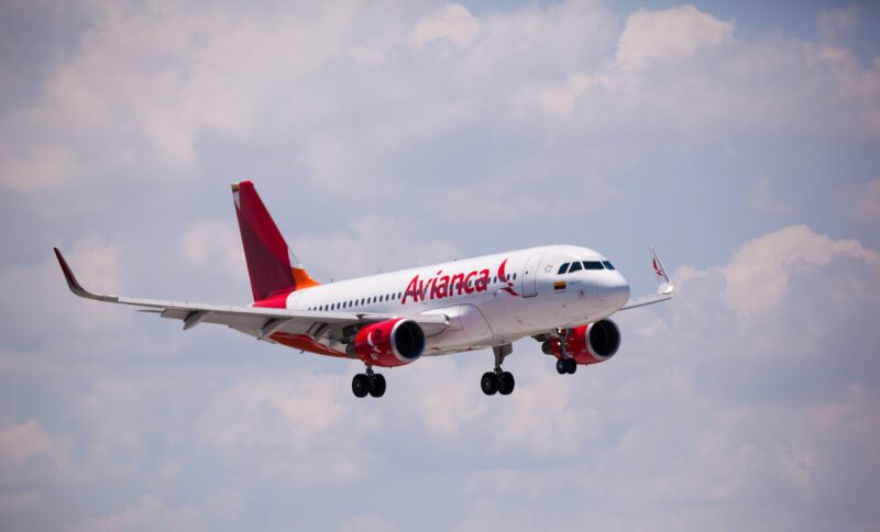
Avianca is again serving three Venezuelan cities from Bogotá with daily Airbus A320 flights and more than 7,500 weekly seats.
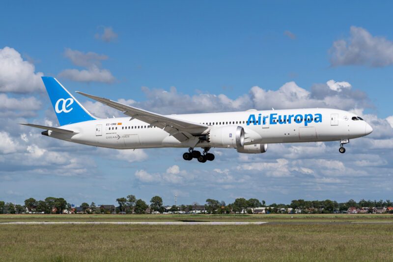
Caracas (CCS) has reopened to commercial passenger traffic using temporary terminals while repairs continue after Venezuela’s deadly June earthquakes.
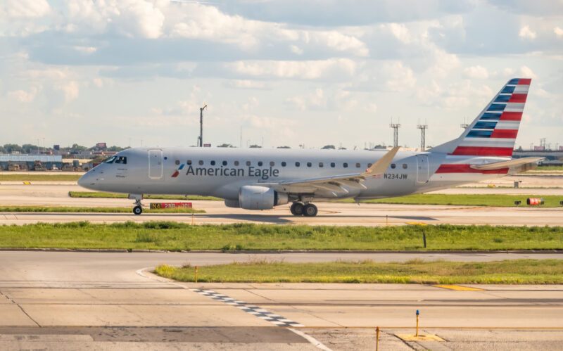
American Airlines has restored nonstop service between Miami International Airport (MIA) and La Chinita International Airport (MAR), reconnecting the United States with Maracaibo after a…
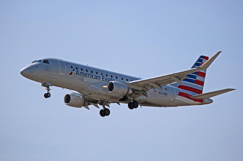
American Airlines is adding two new routes from Miami International Airport (MIA). The airline will launch daily flights from Miami (MIA) to Maracaibo (MAR), Venezuela,…
American Airlines (AA) has received U.S. Department of Transportation approval to restart daily nonstop service from Miami International Airport (MIA) to Caracas Simón Bolívar International…