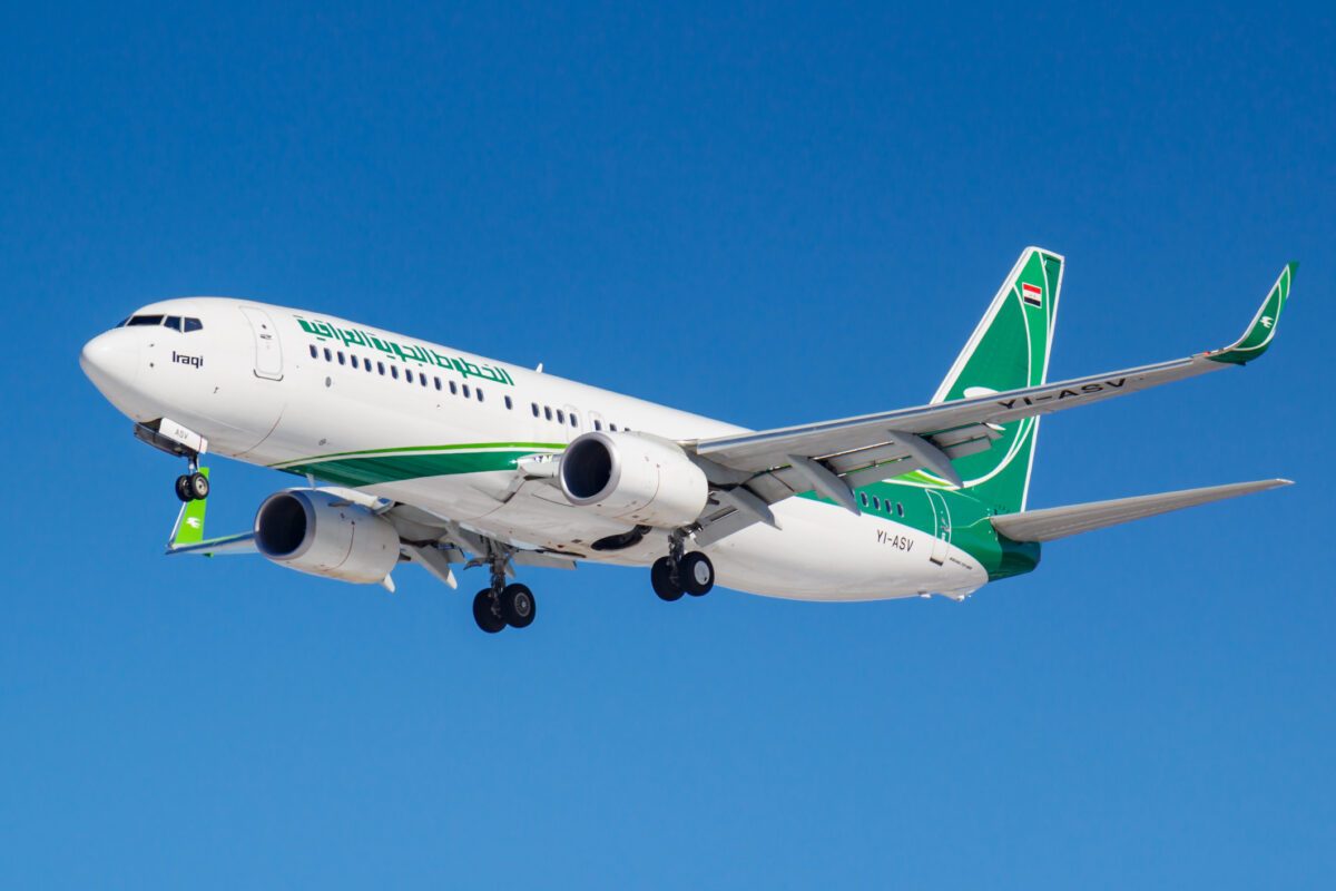
Iraq has returned a broad tract of military-reserved airspace in the west of the country to civil aviation control, removing a constraint that has shaped traffic through the Baghdad Flight Information Region for about a decade.
The transfer covers areas extending from northern to southern Iraq, according to Ihab Saad Karim, director of the General Company for Airport Management and Air Navigation. Karim said Iraq’s airspace management team had formally confirmed that the military areas listed in the country’s Aeronautical Information Publication were no longer being used for military operations.
The areas have consequently been handed to the civil air navigation organization for use by commercial traffic. Iraq’s Ministry of Transport announced the change on September 18, with Karim outlining the decision at a press conference covered by the Iraqi News Agency.
Read our stories in your inbox
Two aviation newsletters. Zero fluff.
Karim said the restrictions dated from 2016 and 2017. Their removal followed coordination between civil aviation personnel, the Iraqi armed forces and the office of the commander-in-chief.
Aeronautical Publication Changes Still Required
The administrative transfer does not by itself create an immediately usable airline route. Iraq must complete the associated technical and regulatory work, remove the relevant areas from its AIP and publish the revised structure through the normal aeronautical information system.

Operators will therefore continue to plan against the effective AIP, NOTAMs and instructions from Baghdad Area Control Center until the amended structure takes effect. The distinction matters: the military has released the airspace, but dispatchers cannot treat an unpublished corridor as available simply because the underlying reservation has ended.
Karim said the update would be made available to international airlines and would give Iraq greater flexibility to establish new routes. The announcement did not set out individual route designators, entry and exit points, flight-level constraints or an effective AIRAC date.
The western part of Iraq is strategically positioned between Gulf airspace and the eastern Mediterranean. Additional capacity there could support more direct tracks toward Jordan and the Levant, while also creating alternatives when traffic flows or temporary restrictions reduce capacity elsewhere in the region.
Iraq’s existing upper-air network carries substantial north-south and east-west traffic, but military reservations have limited the usable geometry. An Iraq Civil Aviation Authority presentation published by ICAO described two principal area-control sectors in the Baghdad FIR and identified military-airspace coordination as a central element of the country’s air traffic flow management program. The presentation said that earlier coordination had already produced a 40% reduction in restricted areas.
Releasing the remaining western areas potentially gives controllers more options for distributing traffic between sectors, resolving conflicts and reducing tactical reroutes. The eventual benefit will depend on how Iraq designs the replacement route network and coordinates boundary crossings with neighboring flight information regions.
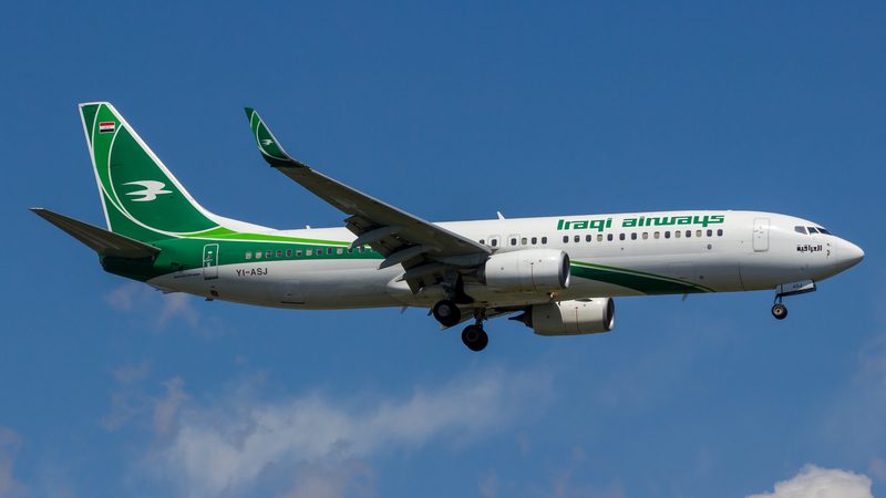
Capacity and Overflight Revenue
For Iraq, the commercial case extends beyond shorter tracks for airlines. States collect air navigation charges from aircraft using their controlled airspace, making dependable overflight traffic a source of foreign-currency revenue.
A more flexible network could allow the Baghdad FIR to accommodate additional movements during periods when carriers avoid Iranian, Syrian or other regional airspace. It could also make Iraqi routings more competitive against tracks through Saudi Arabia, Kuwait and the eastern Mediterranean.
The largest gains would generally accrue to long-haul aircraft operating routes between the Gulf or South Asia and Europe. Even relatively small reductions in track miles can lower fuel burn, improve payload margins and reduce the amount of contingency fuel carried for anticipated rerouting. Widebody types such as the Boeing 777, Boeing 787 and Airbus A350 dominate many of those flows, although the value of a western Iraqi corridor would be determined by each flight’s origin, destination, winds and available neighboring airspace.
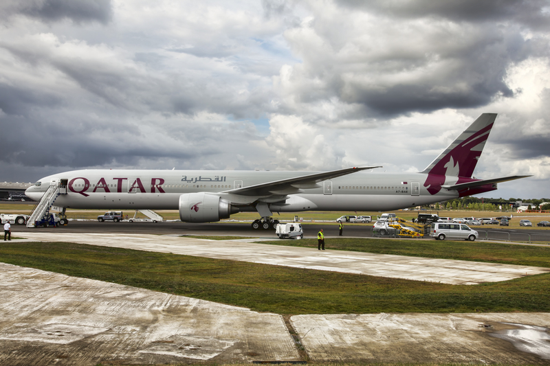
There is also an operational resilience argument. More route options allow air navigation providers to spread demand and give airlines additional recovery paths when weather, military activity or temporary closures affect a primary corridor. That value can exceed the saving from the shortest track on a normal day.
Opening Does Not Remove Conflict-Risk Advisories
The transfer of military-reserved areas is an airspace-management decision, not a declaration that every operator or regulator now considers the Baghdad FIR acceptable.
The European Union Aviation Safety Agency’s current Iraq conflict-zone bulletin, revised August 31 and valid through September 30, advises affected operators not to fly within the Baghdad FIR at any altitude. EASA cites risks associated with missile and drone activity, air-defense activation, military assets and armed non-state groups.
U.S. operators face a different regulatory framework. The FAA’s Special Federal Aviation Regulation covering the Baghdad FIR prohibits specified U.S. civil operations below Flight Level 320, subject to limited exceptions, through October 26, 2027.
Other airlines make decisions under their own state requirements and security risk assessments. Some may use Iraqi airspace while others continue to avoid it, meaning newly published routes may attract traffic unevenly even if they offer a clear distance advantage.
That division reflects the separate responsibilities involved in an overflight. Iraq determines the structure and availability of its sovereign airspace, while operators and their national authorities decide whether a route meets their security criteria. ICAO has emphasized that distinction, noting both a state’s authority to regulate its airspace and the operator’s responsibility for routing decisions.
Bottom Line
The western-airspace transfer gives Iraq the foundation for a more useful route network, but the measure will acquire operational value only when it appears in effective AIP amendments and associated NOTAMs. Airlines will be watching for the route designators, usable flight levels, hours of availability and boundary agreements that determine whether the new structure produces meaningful savings rather than theoretical capacity.
Iraq stands to gain if it can turn the released areas into stable corridors that neighboring air navigation providers can support. More overflights would increase navigation revenue, while additional route geometry would help Baghdad ACC manage surges and disruptions across a region where traffic patterns can change quickly.
The immediate constraint is not airspace ownership but airline risk appetite. EASA’s all-altitude avoidance recommendation and the FAA’s below-FL320 prohibition will keep significant groups of operators away. The next test is therefore twofold: whether Iraq can publish commercially useful western routes, and whether improving regional security conditions allow more international carriers to use them.
Keep reading FlyMag
Get the Daily Brief in the morning or the Route Watch weekly recap on Fridays. Or both.